DIMES UK1 Cruise Update11 December 2009
We reached the area of the UK DIMES mooring cluster on 7th December, but were forced to heave to in rough seas until the afternoon of 8th December. After that, we have been rather fortunate with the weather and all planned work has proceeded smoothly, in great part due to the truly outstanding support of the technicians and crew in the RRS James Cook. As I write, we have finished deploying the last of the six moorings in the cluster, which includes an FSU sound source. A map of the multibeam bathymetry and the locations of the moorings is shown below. Additionally, we occupied one CTD station at the location of each of the moorings, and conducted a tow-yo CTD transect across the topographic feature at the centre of the mooring cluster (see map) to survey the finescale density and velocity fields above and in the lee of the feature. The large-scale flow in the mooring cluster area has been oriented northeastward over the last few days, and the hydrography suggests that we are currently sitting at the northern edge of the Polar Front.
Map of the UK DIMES mooring cluster. Red circles indicate estimated mooring positions. All moorings consist of a series of current meter and microcat pairs at prescribed depth levels, except for the moorings immediately to the west and east of the shallowest topography, which respectively contain a moored ADCP and two McLane moored profilers as well. The blue line shows the location of the tow-yo CTD transect, which was split into two segments delimited by the blue circles. Colour shading shows the depth of the ocean floor as measure with the ship's multibeamm system.
Tonight, we plan to continue the tow-yo CTD transect a little further toward the northeast, and then start steaming to the deployment site of the FSU-3 sound source mooring. It will take around a day to arrive there. Currently we are a little ahead of schedule, spirits are up, and the cruise prospects and time budget are looking healthy.

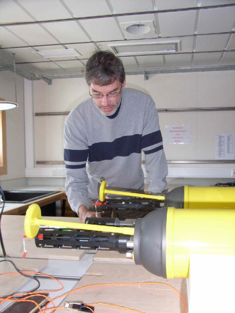
A scientist deep at work -Kevin trying to convince a profiling float to talk to him.